File:Galar Honeycalm Island Map.png
From Bulbagarden Archives
Jump to navigationJump to search
Size of this preview: 800 × 404 pixels. Other resolution: 960 × 485 pixels.
Full-size image (960 × 485 pixels, file size: 744 KB, MIME type: image/png)
Summary
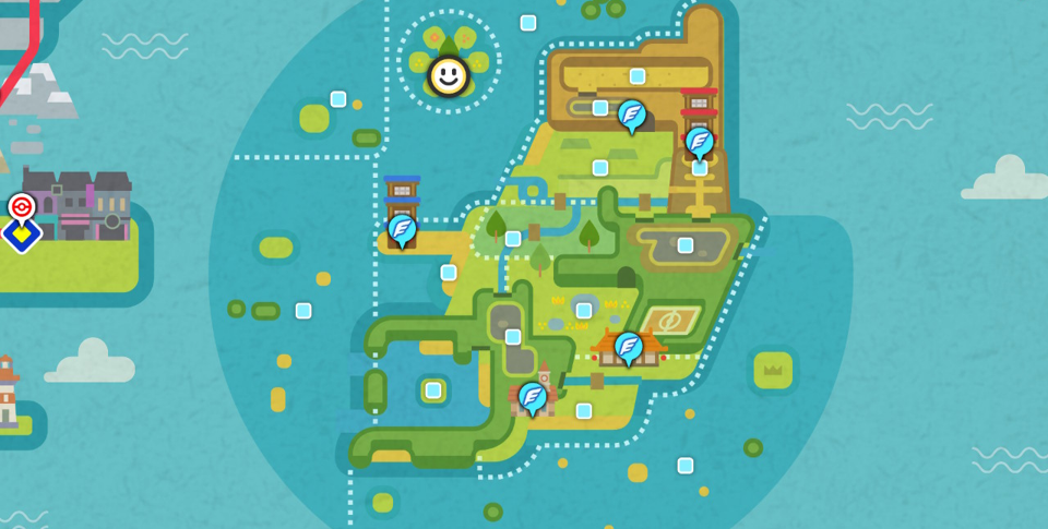
| This is an in-game map of the Galar region from Pokémon Sword and Shield, with Honeycalm Island highlighted. |
File history
Click on a date/time to view the file as it appeared at that time.
| Date/Time | Thumbnail | Dimensions | User | Comment | |
|---|---|---|---|---|---|
| current | 09:41, 28 September 2022 | | 960 × 485 (744 KB) | Yapby (talk | contribs) | {{regionmap|Honeycalm Island|Galar|SwSh}} Category:Galar maps Category:Game maps Category:Town maps |
You cannot overwrite this file.
File usage
There are no pages that use this file.
Global file usage
The following other wikis use this file:
- Usage on bulbapedia.bulbagarden.net